Edge of elevation data causing mayhem!
If you take a look at 48.02443, -121.5062 there's some very funky stuff going on with interpreting elevation data.
Is there anything caltopo can do to fix this type of problem?
Caltopo "Topo layer" shows an enormous cliff - which doesn't exist.
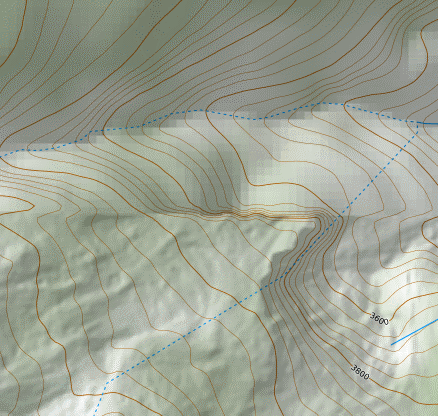
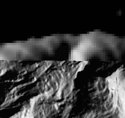
Shaded relief shows it's the boundary of high/low resolution elevation data.
Thunderforest (i.e. openstreet map) doesn't have the problem:
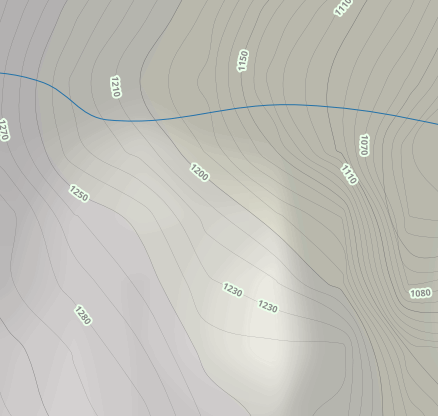
Nor does FS maps: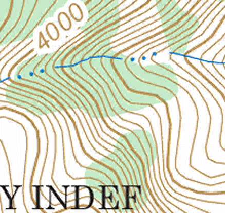
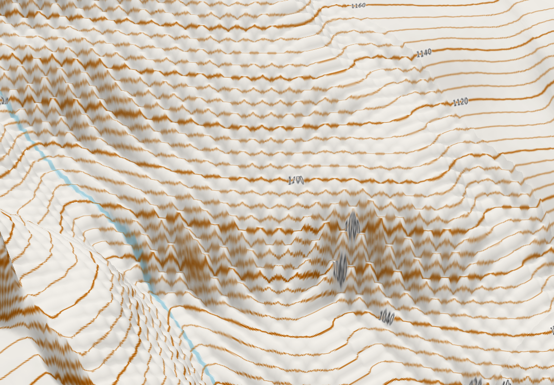
Also nearby there's distortion causing "waves" in the elevation....
Comments
0 comments
Please sign in to leave a comment.