Increase 3D viewing angle range
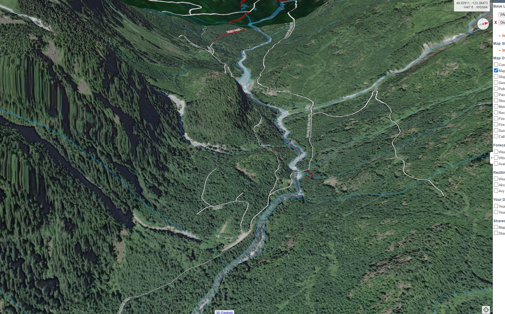
One of the main features I have been missing from FATMAP is the ability to zoom into a peak or area of interest then use the 3d view to get a rough idea of what the terrain surrounding the area actually looks like from the ground. This was very useful for getting a feel for the environment, being able to identify what peaks are in view, lining up photos, etc. This does not seem to be possible in Caltopo's 3d view from what I can tell.
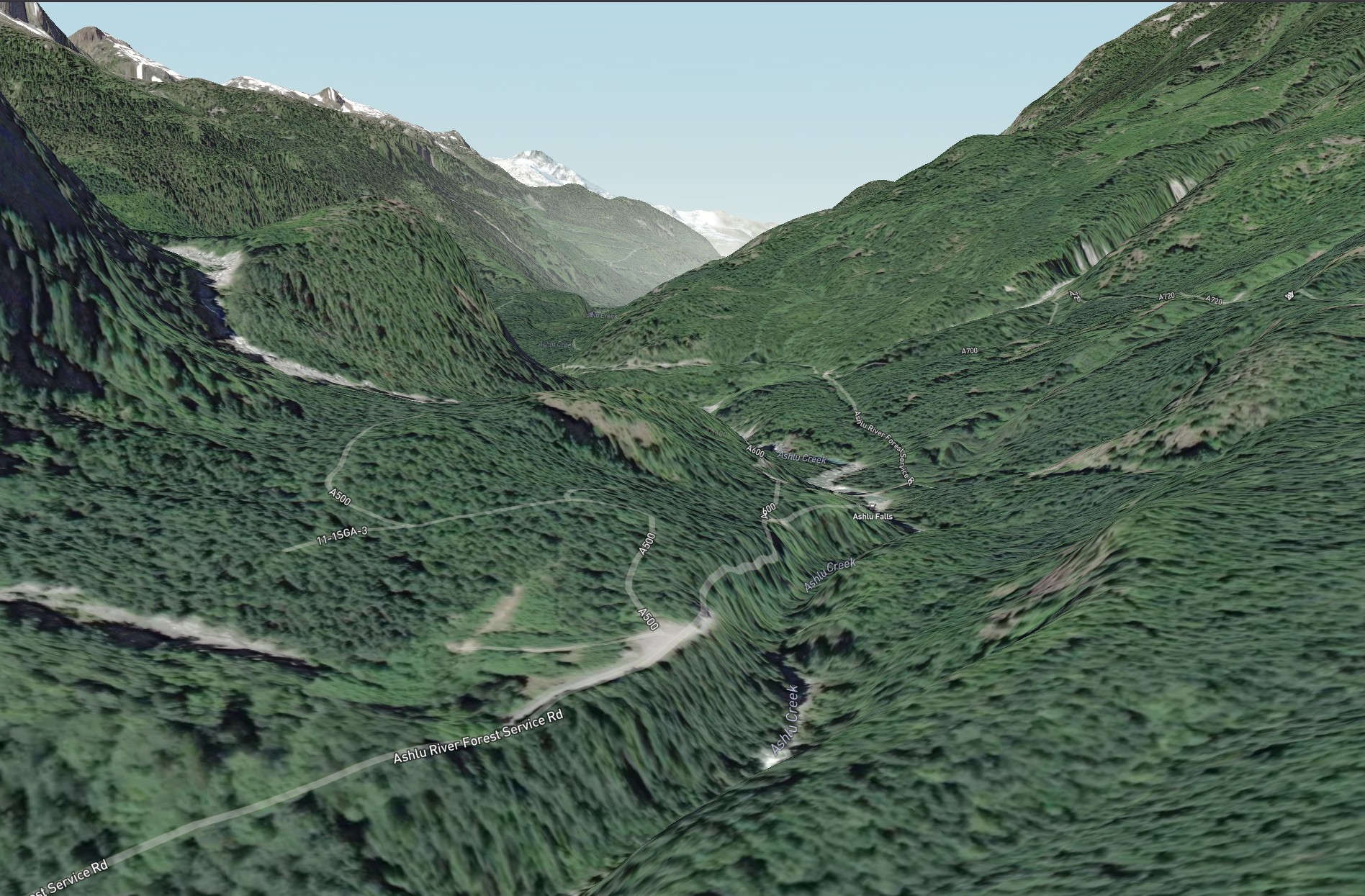
As an example, the free tool https://skimomap.com/ allows me to zoom in and tilt the view far enough that I can see roughly what the horizon looks like up this valley in Squamish, BC. It lines up fairly well with the actual terrain I captured from my drone. Caltopo's 3D view only allows me to tilt the view just far enough to get a view from the air, more like what you would see flying over an area in a helicopter. Am I missing something here, and if not could this functionality be added?

Comments
2 comments
It's something we would like to improve, but we're currently unable to support higher pitch angles due to some limitations with the mapping library we're using.
Have you tried right click -> point info -> simulated view? You can't fly around like you can in a typical 3D view, but it's designed to give an accurate view from both ground-level and various elevations.
I wasn't aware of the simulated view feature and it does resolve some of my issues. A full 3D would be nice in a perfect world but this will help a lot for now.
Thanks!
Please sign in to leave a comment.