Where does the elevation data come from?
I'm particularly interested in the source of the elevation data displayed in the upper right corner of the map:
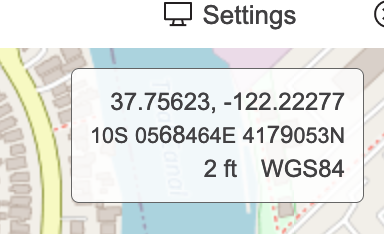
I'm particularly interested in the source of the elevation data displayed in the upper right corner of the map:
Comments
2 comments
Just a guess (i am no caltopo developer). Google and many other map providers have elevation data. There is also open/free providers such as open-elevation.com
The federal government via USGS creates what is known as the Digital Elevation Model. My understanding is that CalTopo uses that.
Please sign in to leave a comment.